 | |||||||||||
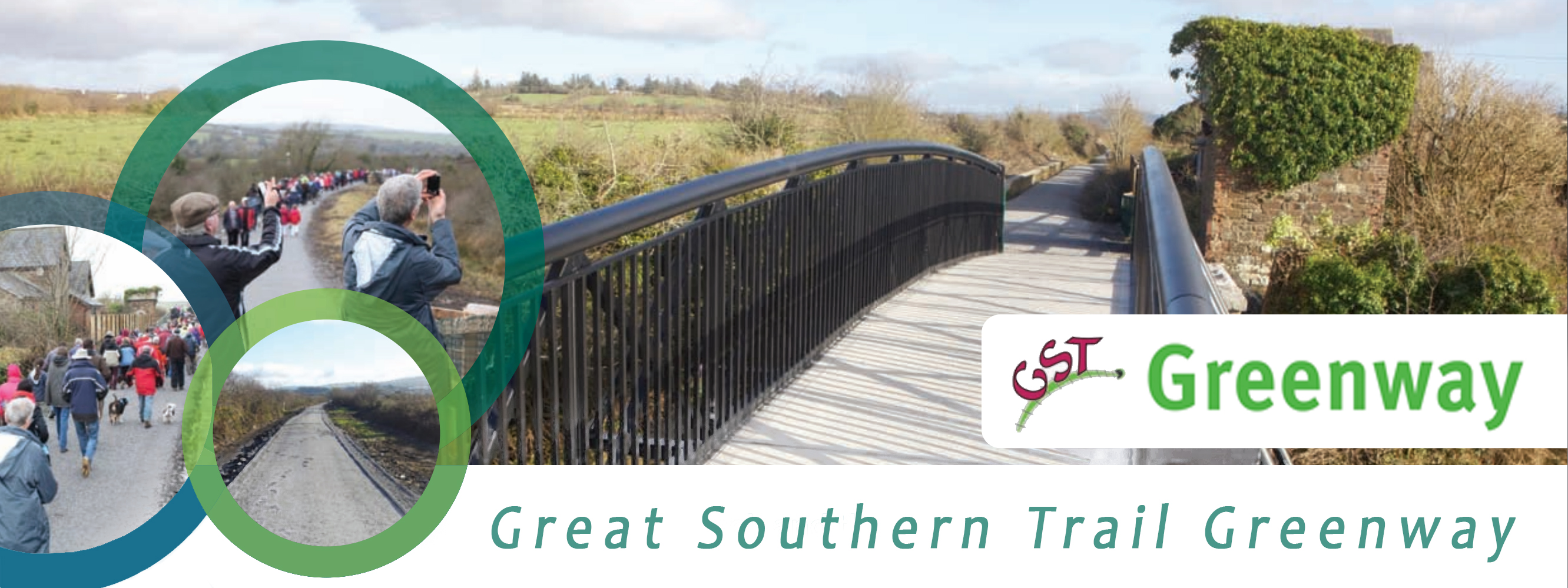
| Trail Maps... If you just wants to get a current downloadable/printable up to date map of the route, click on Map of sections of the Great Southern Trail developed suitable for walking and cycling off road along a 36km route. Please note that the Rathkeale to Ballingrane Junction section is not yet developed. The attached map of completed sections and remaining sections to be completed, map is credited to Tom O'Grady. Below there are a number of map links included, two different sets of Ordnance Survey maps and a "Map My Ride" maps. The different maps have varying route details, with the "Map My Ride" being most up to date, with stating grades of difficulty and ascent, etc. The maps below are provided for information purposes only, e.g. "old ordnance survey maps", are a collection of old Ordnance Survey maps showing the original railway trail route taking by the Great Southern Trail. To view the overall map of the first sections of the trail developed along with section maps of the route (Newcastle West to Barnagh, Barnagh to Abbeyfeale, Newcastle West to Ardagh and Ardagh to Rathkeale) you will need Acrobat Reader installed on your PC.
| ||||||||||
Contact: Secretary, Great Southern Trail, Gortbui,
Newcastle West, Co. Limerick, Ireland.
Email Us | |||||||||||
